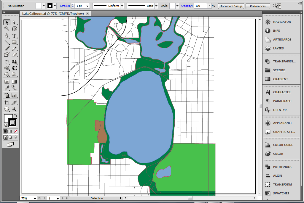
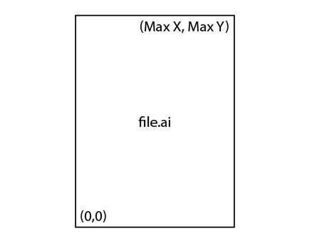
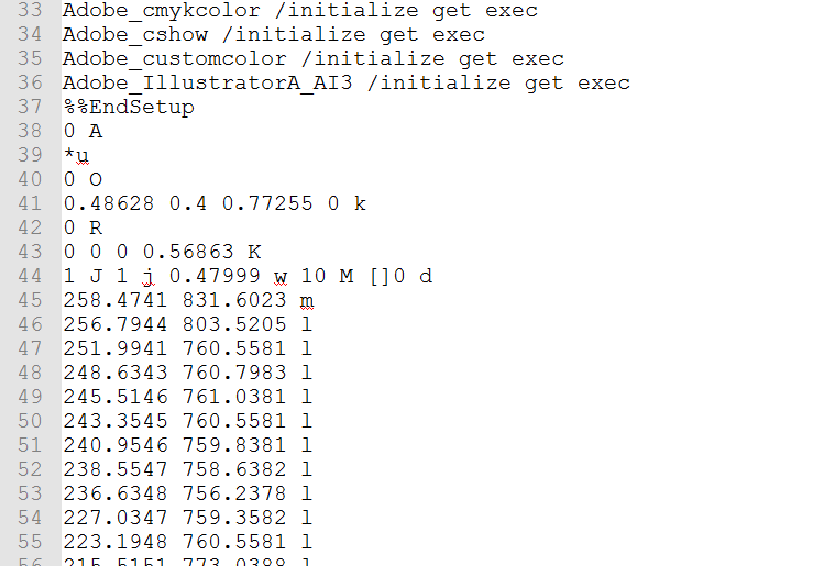
Design to Data
Adobe Illustrator
Data Extraction

M. Foster, 2014

Geospatial Data Design

M. Foster, 2014

Not in GIS

M. Foster, 2014

Mike Foster, GISP
MIT Urban Studies and Planning
Civic Data Design Lab
FH GeoGraphics
@mjfoster83
Follow Along:
mjfoster83.github.io/nacis-2014

M. Foster, 2014


DUSPMIT
dusp.mit.edu


www.civicdatadesignlab.org

M. Foster, 2014

Rebuild by Design
Digital Matatus
City Digits
Data Action Blog (Coming Soon)

M. Foster, 2014

Graphic Design and Geographic Data

M. Foster, 2014

The Background...
and Motivation

M. Foster, 2014

Exploring Interoperability between Graphics Software and GIS Software

M. Foster, 2014

Methods of Interoperability

M. Foster, 2014

Mapublisher
AutoCAD
Georeferencing

M. Foster, 2014

The Project

M. Foster, 2014

Reverse Engineer the ArcGIS
Export to AI
functionality

M. Foster, 2014

The Result...

Python Based Data Extraction/
Conversion Tool

M. Foster, 2014

The Process...

M. Foster, 2014

What is in an AI file?

M. Foster, 2014

Glorified
Postscript

M. Foster, 2014

Parsing
Based on Flags

M. Foster, 2014

Loop
and write to File

M. Foster, 2014

Extracted Points

M. Foster, 2014

Georeferencing
'Gotcha!'

M. Foster, 2014

Point Translation
and Conversion

M. Foster, 2014

In Postscript

M. Foster, 2014

Set Ground Control

M. Foster, 2014

Conversion Factor &
Projection (WGS84?)

M. Foster, 2014

One more Gotcha
No Curves :(
Convert to Lines

M. Foster, 2014

Other Needs

M. Foster, 2014

Format Created Text Files (CSV)

M. Foster, 2014


File Conversion


ArcPy

M. Foster, 2014

Open and Sort in ArcGIS

M. Foster, 2014

M. Foster, 2014

Attributes

M. Foster, 2014

It works!
Graphically Created GeoData

M. Foster, 2014

Landscape Architects
Graphic Designers
Non-GIS Users

M. Foster, 2014

Future Work
PyQGIS
GDAL
SVG/Inkscape

M. Foster, 2014

Mike Foster
Twitter: @mjfoster83
Email: mjfoster@mit.edu
www.graphicarto.com
Project Github Repo:
www.github.com/mjfoster83/ai-extractor

M. Foster, 2014